
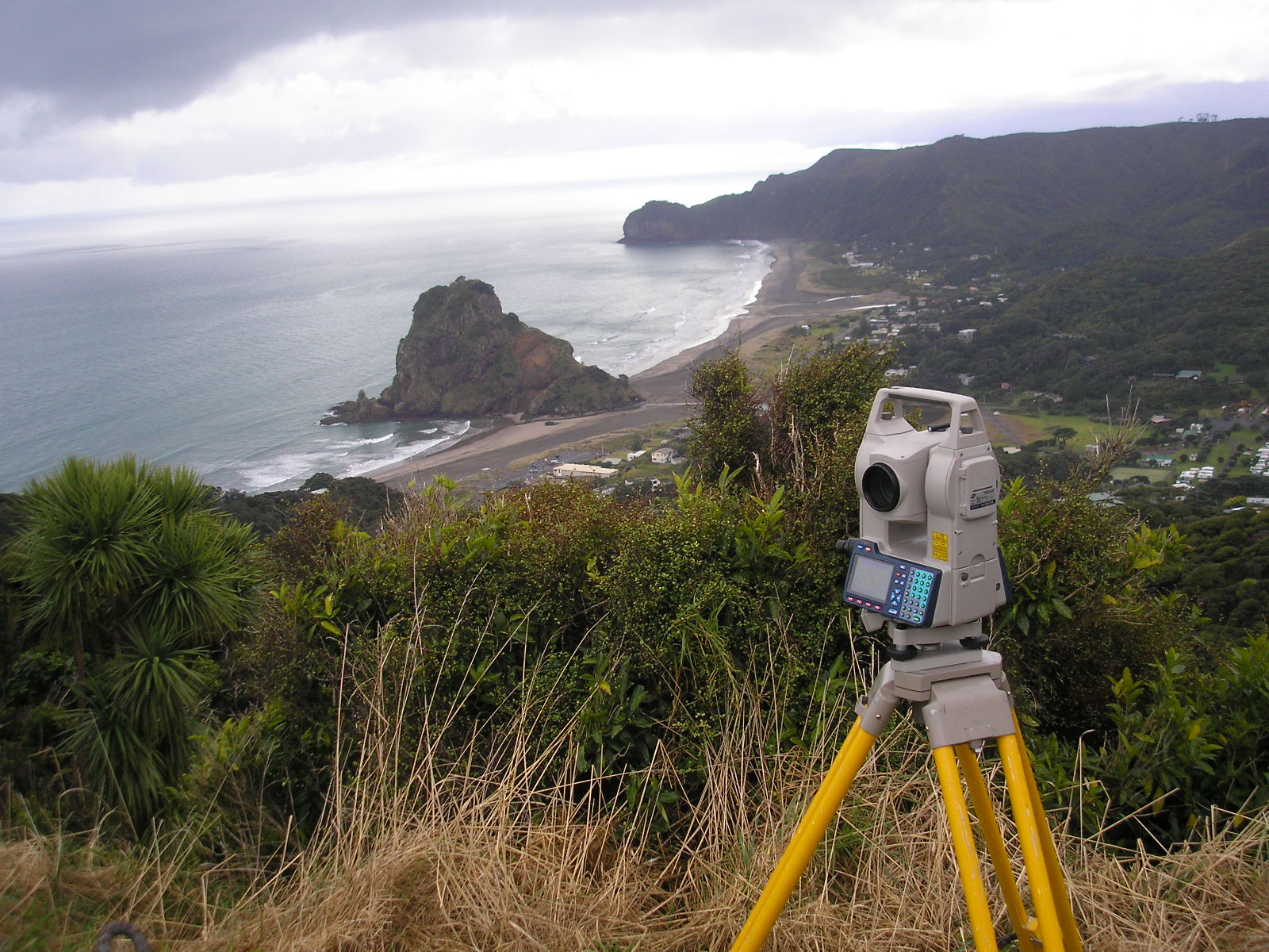
Starting with a licensed cadastral surveyor is the step that grounds your entire project in reality. Relying on fence lines or online map estimates is one of the most common—and expensive—mistakes people make when planning a development.
Before an architect or designer draws a single line, a surveyor provides the “ground truth” of your site. Here is why they are your very first port of call:
1. Fences Are Rarely the Actual Boundary
In Auckland, existing fence lines are notoriously inaccurate—they are often placed where it was convenient for a previous owner, not where the actual property boundary lies.
- Legal Boundaries: A surveyor locates or calculates the official legal boundary lines.
- Boundary Rules: Building codes and the Auckland Unitary Plan strictly govern how close you can build to a boundary (setbacks) and how tall you can build relative to the boundary (Height in Relation to Boundary, or HIRB). If you build a few centimetres over the setback because you relied on an old fence, council can order construction to stop, or force you to tear a structure down or seek neighbours’ approvals and additional consents.
2. Providing Accurate Contour & Elevation Data
Even a section that looks flat to the naked eye usually has subtle slopes.
- Foundation & Site Prep: Designers and civil and structural engineers need exact site contours (topography) to calculate earthworks, cut-and-fill volumes, retaining wall heights, and foundation depths.
- Cost Prevention: A minor 30cm error in ground elevation can throw off height-limit calculations or trigger unexpected foundation costs ($10,000 to $30,000+) once digging actually begins.
3. Mapping Hidden Services & Legal Restrictions
A site survey doesn’t just look at the ground; it identifies critical subsurface and overhead constraints:
- Underground Utilities: Locates public stormwater, wastewater pipes, and Watercare assets, usually involving CCTV or ground-penetrating radar. Building too close to these requires special engineering and a Works Over Approval.
- Easements & Rights of Way: Identifies legal access rights or utility corridors recorded on your Title that may restrict where you can build.
- Overland Flow Paths: Identifies natural ground slopes so engineers can map water runoff channels across the property, which dictate where buildings can and cannot sit.
4. Preventing Expensive Redesigns & Delays
If an architect uses basic public map data (like Auckland Council Geomaps) to design your project, those drawings are based on approximations.
If Council rejects the plan during the consent process due to inaccurate site measurements, you will have to pay the designer to start over using a real survey. Starting with a surveyor guarantees that every drawing submitted to Council is legally and dimensionally compliant from day one.
The Takeaway:
A site survey typically costs around $2,000 to $4,500, but it acts as an insurance policy for your entire development budget. It ensures you design what is legally allowed, structurally sound, and physically possible on your specific piece of land.