What is the difference between a Topographic survey and a Legal Redefinition survey?
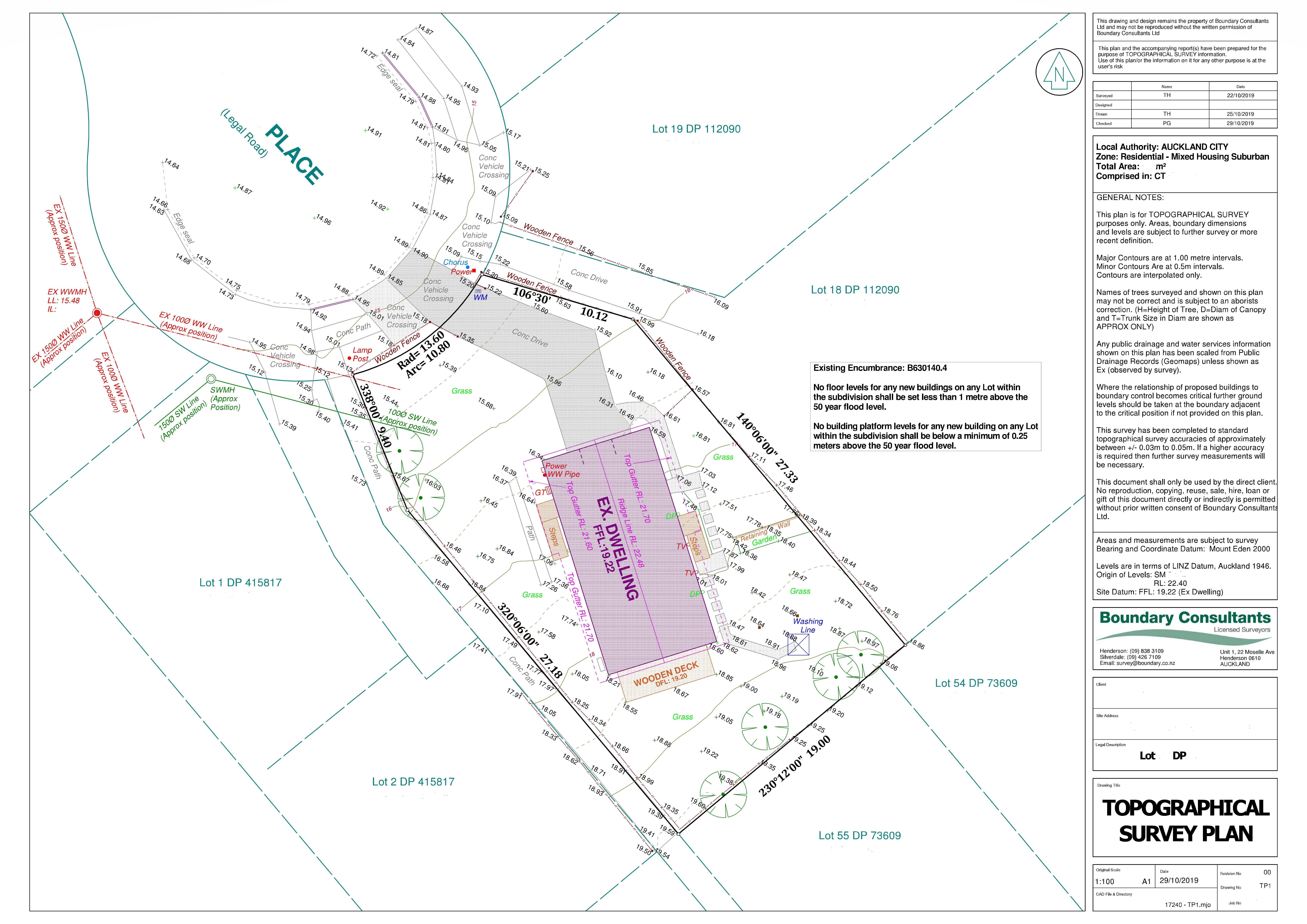
Topographic Survey
A Topographic survey (otherwise known as a topo survey or site survey) measures the features on the land in three dimensions, which enables a contour model to be created and hence the topography of the land to be modeled. Boundary Consultants will provide you a map or plan of the topography of your site, and we will also provide the electronic information (dwg file) to your architect and engineer. Architects use this information in the building design to confirm compliance with Council’s standards and engineers use it to calculate earthwork volumes, flood risks on site and to propose infrastructure solutions.
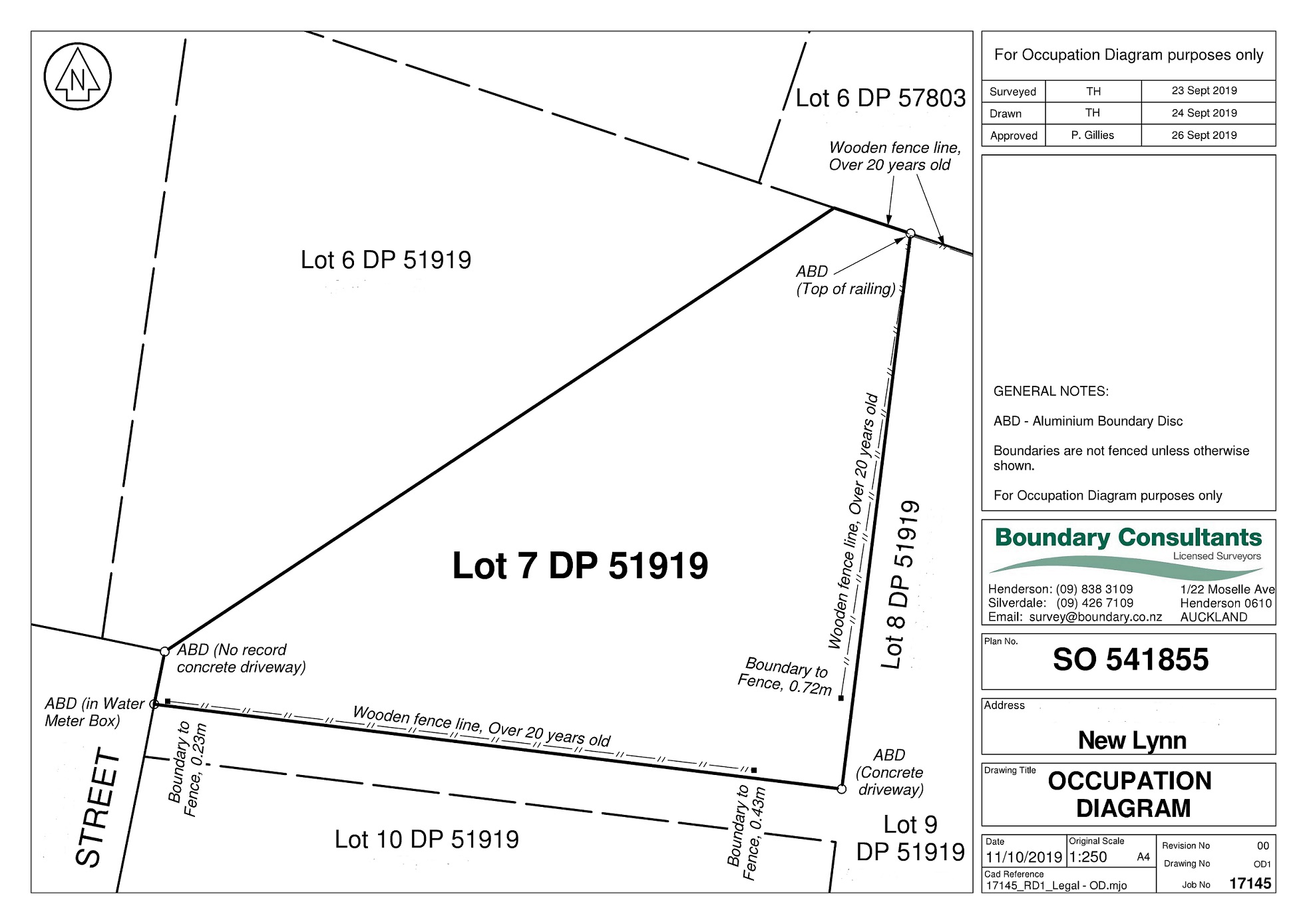
Legal Redefinition Survey
A Legal Redefinition survey is a survey to redefine a boundary. This is a survey to locate and place legal boundary pegs. (it is also possible to have a temporary Redefinition survey done, this is generally used for fencing purposes). As a licensed Cadastral Surveyor, we are required to follow the Survey regulations in the marking of boundaries. These regulations require us to locate a number of old marks from previous surveys and from those, to be able to prove that this is the correct position of the boundary. While you may only want one boundary position or line defined, there is still a requirement for the Surveyor to comply with the regulations, so things are not as simple as they may appear, especially in the older parts of the city.


